Secret Sedona hikes: 5 scenic trails you won't have to share with crowds of people
It’s that time of year when the red rocks call. Sedona is gorgeous in every season but there is magic found in the cooler days of fall. Celebrate the end of the heat season by putting a layer of red dirt on your hiking boots.
These days, more than ever, it’s nice to avoid crowds. So steer clear of the conga lines of humanity that form on wildly popular trails like West Fork, Boynton Canyon and Devils Bridge.
More than 400 miles of hiking trails weave among Sedona’s sandstone towers and buttes so it’s not impossible to find a little peace and quiet. You just have to know where to look. Here are five secret Sedona trails where you can savor scenery and solitude.
For more information about Sedona hiking trails, contact the Red Rock Ranger District at 928-203-2900 or https://www.fs.usda.gov/coconino.
MORE THINGS TO DO: For restaurant reviews, travel tips, concert picks and more, subscribe to azcentral.com.
Schuerman Mountain Trail
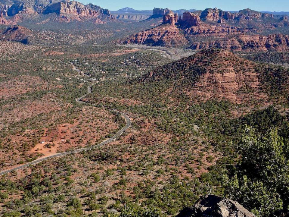
With so much red-rock drama, it’s easy to overlook an old volcano, mellowed by age and erosion. Schuerman Mountain rises in west Sedona, a high tableland that offers commanding views of gaudier formations.
The trail starts at Sedona High School and angles uphill at a moderate tilt for a half-mile before reaching the rim. Schuerman is more mesa than mountain, a rangy plateau shaggy with juniper. At the top you’ve got some choices. A right turn leads to the summit, and beyond that some impressive views of the Verde Valley.
Arizona's best hikes: Here are 10 top trails in Arizona and how to hike them
Or bear left at the signed junction with the Vista Trail (0.3 mile), ending at a ledge of basaltic lava rocks where you’re treated to big panoramas of Cathedral Rock and neighboring formations.
If you’re not ready to return to civilization yet, follow the rest of Schuerman Mountain Trail as it rambles across the plateau. You’ll cross sloping basins of grasslands sprinkled with junipers and pines for more than a mile before the path tumbles off the backside of the mountain to connect with Lime Kiln Trail. Return the way you came.

Length: 2 miles round trip to the vista.
Difficulty: Moderate.
Directions: From the "Y" intersection of State Routes 179 and 89A in Sedona, drive west on SR 89A for 4.2 miles. Turn left on Upper Red Rock Loop Road and go 0.25 mile to the parking slots on the left side of the road.
Admission: Free.
Creek hikes near Sedona: Here's where to splash it up and cool off
Roundabout Trail
Somehow Sedona keeps expanding an already impressive trail system. The recently completed Western Gateway Trails added 30 new miles with a knot of interconnected pathways carved from juniper-clad slopes above Dry Creek. A lot of organizations got involved and an army of volunteers turned this isolated corner of west Sedona into a paradise for hikers, bikers and equestrians.
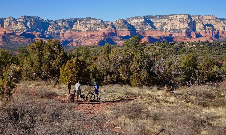
Using the longstanding Girdner Trail as a foundation, trails named Outer Limits, Last Frontier, Axis and Lasso spin outward like filaments in a frantic web. Signs with maps at every junction make for easy navigation. The gentle Roundabout Trail provides a quick introduction to the area. It branches off from the paved Centennial Trail.
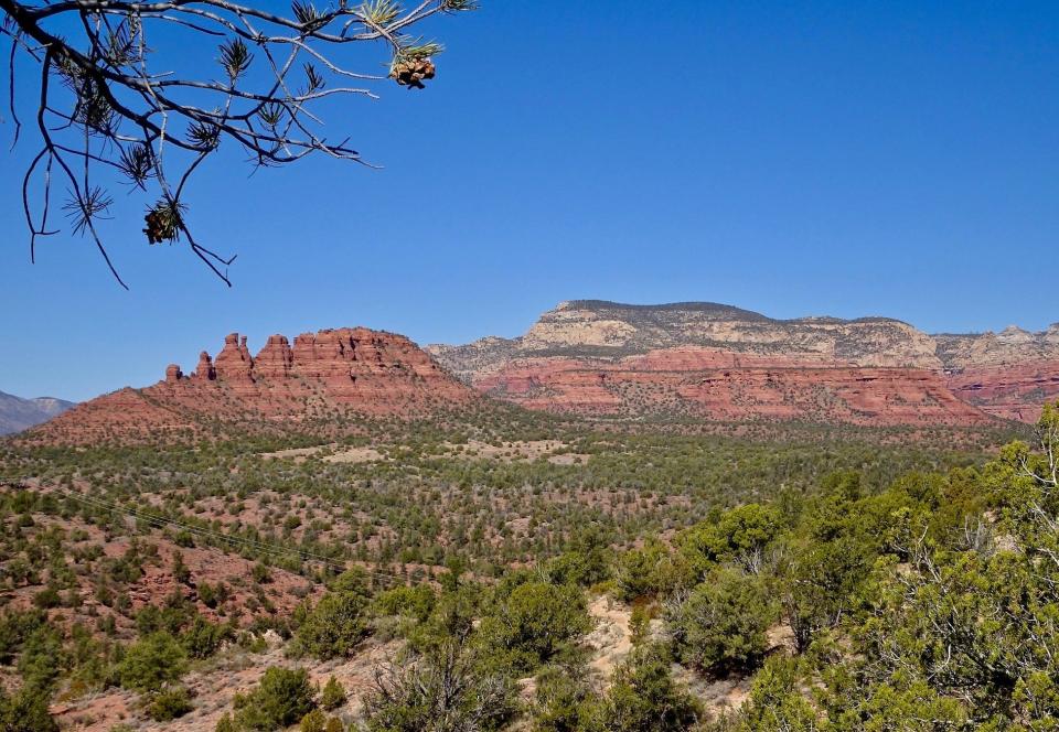
Roundabout swings out through the forest of pi?on pines and junipers and past a couple of small boulder fields. As it curls back around it traces the edge of the mesa overlooking Dry Creek with views north to the Cockscomb, Doe Mountain and Bear Mountain. It ends at the Girdner Trail. Turn right on Girdner for the short walk back to the trailhead.

In April and May this can be a good wildflower hike with plump bouquets of blackfoot daisies, Goodding’s verbena and the neon blooms of hedgehog cactus brightening the forest.
Length: 2-mile loop.
Difficulty: Easy.
Directions: From the "Y" intersection of State Routes 179 and 89A in Sedona, drive west on SR 89A for 4.2 miles, then turn right on Cultural Park Place and proceed to the graveled parking areas.
Admission: Free.
Best easy hikes in Sedona: Fabulous views on these short, simple trails
Stirrup-Saddle Up Loop
Channel your inner cowpoke on this longer loop at the Western Gateway trailhead. It’s similar to Roundabout as it pulls you into scrubby forest and offers some fine red-rock views.
Start on Stirrup, which drops into the woods and soon crosses and re-crosses a storm-gnawed arroyo. You’ll pass the first junction with Saddle Up and weave across a graveled flat through an orchard of junipers. At 1.4 miles Stirrup ends at Girdner Trail alongside the northern terminus of Saddle Up.
Take a right on Saddle Up as it wraps around the hillside, climbing to the top of the plateau in long gentle switchbacks. From this high perch views stretch across west Sedona to the Village of Oak Creek. There’s the blocky bulk of Courthouse Butte and its teardrop-shaped amigo, Bell Rock.
The trail swings wide enough to brush close to a few homes, which comes as a surprise after so much quiet time in the backcountry. The trail reconnects with Stirrup. Hang a left and canter back to the trailhead.

Length: 3.3 miles round-trip.
Difficulty: Easy.
Directions: From the "Y" intersection of State Routes 179 and 89A in Sedona, drive west on SR 89A for 4.2 miles, then turn right on Cultural Park Place and proceed to the graveled parking areas.
Admission: Free.
Ground Control-Outer Limits Loop
If you want more than just panoramas, if you want to walk on the rock bones of this rough-hewn landscape, then explore the Western Gateway Trails from the other side of Dry Creek. You can put together a tasty 3.5-mile loop up onto the shoulder of the Cockscomb using the new Ground Control and Outer Limits trails.
From the Aerie Trailhead, start out on the Cockscomb Trail for about a mile as it rambles across open country. You’ll pass the junction with Outer Limits, but keep going since taking the loop counter-clockwise means a much steeper climb.
You’ll soon reach the turn for Ground Control at the base of the Cockscomb formation. Follow this route as it slants uphill in a modest ascent. Once it snags the rock wall, hold on to your hat.
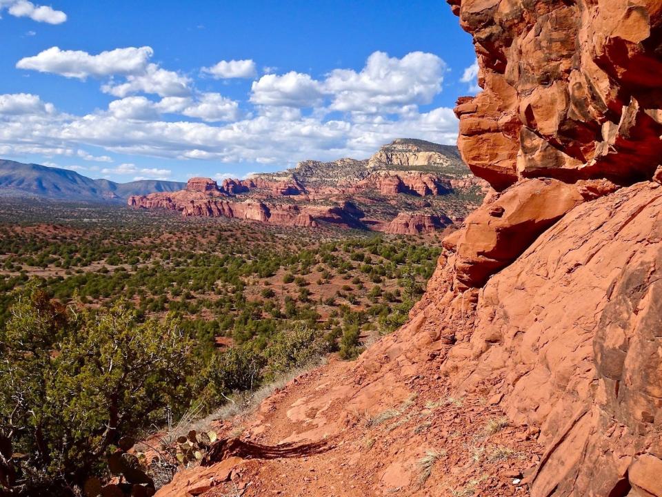
Ground Control is a slender snake of a trail that slithers up the flank of Cockscomb and clings to the curving sandstone. Edgy and ledgy, the narrow passage hugs the cliff face high above the valley floor. It feels a bit like a slow motion carnival ride as you light-foot along the dips and twists. The path curls beneath the bristling columns that give Cockscomb its name and then drops steeply over the side.
Outer Limits is waiting once you touch down, so hang a right as it meanders through groves of ocotillos and makes its way back to Cockscomb Trail. Turn left to reach the trailhead.

Length: 3.5 miles round trip.
Difficulty: Moderate.
Directions: From the "Y" intersection of State Routes 179 and 89A in Sedona, drive west on SR 89A for 3.2 miles, then turn right Dry Creek Road. Go 2.9 miles to a T intersection, turn left on Boynton Pass Road and continue 1.6 miles to another T. Turn left and go 1.4 miles to Aerie Road. Turn left on Aerie and drive to the trailhead about a half-mile ahead on the right.
Admission: Free.
Baldwin Trail
If you’re looking for the iconic Sedona tableau, Baldwin Trail delivers.
The trail first descends to a riparian corridor across the creek from Red Rock Crossing. Just past the Baldwin/Crescent Moon trail sign, turn left on a social path that leads to the stream.
Here you’ll have the perfect vantage point of majestic Cathedral Rock rising above the crystal waters of Oak Creek. Return to the main trail and follow the sandy path through lush woodlands toward Cathedral.
At 0.5 mile, the Baldwin Trail bears right through a gate and climbs a draw between Cathedral and a red rock butte. Views improve as you get higher. The trail levels out, then curves around the backside of the butte and returns to the trailhead.
Length: 2.3-mile loop.
Difficulty: Easy.
Directions: From the intersection of State Route 179 and Verde Valley School Road in the Village of Oak Creek, go northwest on Verde Valley School Road for 4.8 miles to the trailhead. The last mile is unpaved but suitable for most cars.
Admission: A Red Rock Pass, available at the trailhead, is required. Cost is $5 per day.
Find the reporter at https://www.rogernaylor.com. Or follow him on Facebook at https://www.facebook.com/RogerNaylorinAZ or Twitter @AZRogerNaylor.
Support local journalism. Subscribe to azcentral.com today.
This article originally appeared on Arizona Republic: Best secret hikes in Sedona: 5 less crowded trails
Solve the daily Crossword

