Into the wild on two wheels: Easy bike rides that pass gators, deer instead of cars, trucks
Less than 10 minutes from Interstate 95, a series of bicycle trails winds through some of the most stunning scenery in Palm Beach County.
We’re not talking about State Road A1A along the ocean or the waterfront Lake Trail on Palm Beach or the palm tree-lined sidewalks along Flagler Drive in downtown West Palm Beach, although those are all excellent bike-riding options.
We’re talking about off-the-beaten trails winding through rustic stretches of old-Florida wilderness, miraculously tucked away from surrounding urban sprawl with views as breathtaking as Everglades National Park.
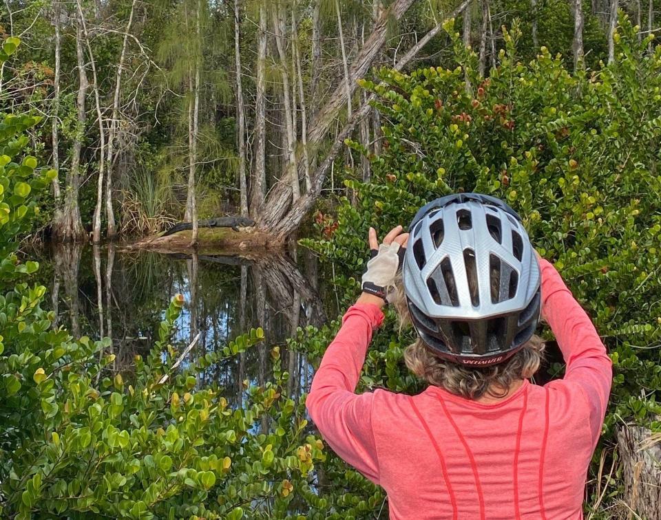
Instead of cars, trucks and motorcycles, the only commuters bicyclists may pass on these trails are alligators, deer and gopher tortoises, along with the occasional human hiker and jogger.
And the only noises out here are the calls of birds, the rustling of wind through trees and the crunching of bike tires rolling across pine needles and shell rock — which brings up an important point.
These trails are not paved with concrete. They are rustic byways of packed dirt and crushed shell rock, with stretches of slippery sugar sand. Several trails are rutted with tree roots.
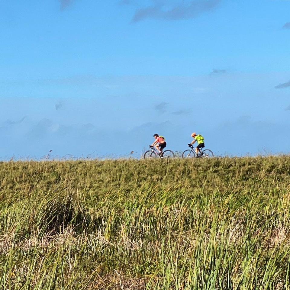
Mountain bikes, gravel bikes, “fat tire” bikes and hybrid bikes with tires wider and thicker than traditional road bicycles are strongly recommended. (Leave those traditional road bicycles with skinny tires at home.)
Bring plenty of water and bug spray, and strap on your helmet; but don’t be in a hurry. These trails are best enjoyed at a slow to moderate pace, to soak in the therapeutic views instead of sprinting past them.
And keep a smartphone handy for all the wildlife and scenery you'll want to photograph.
Here’s a short list of some favorite local trails, with apologies to the many other local wilderness bikeways not mentioned.
Grassy Waters Preserve trails
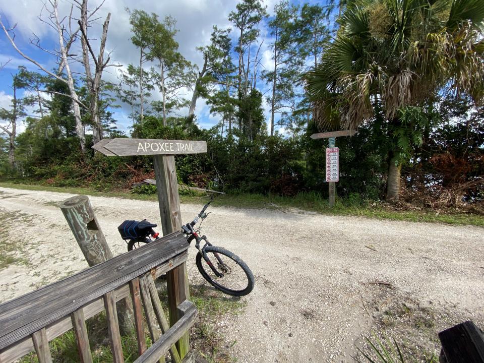
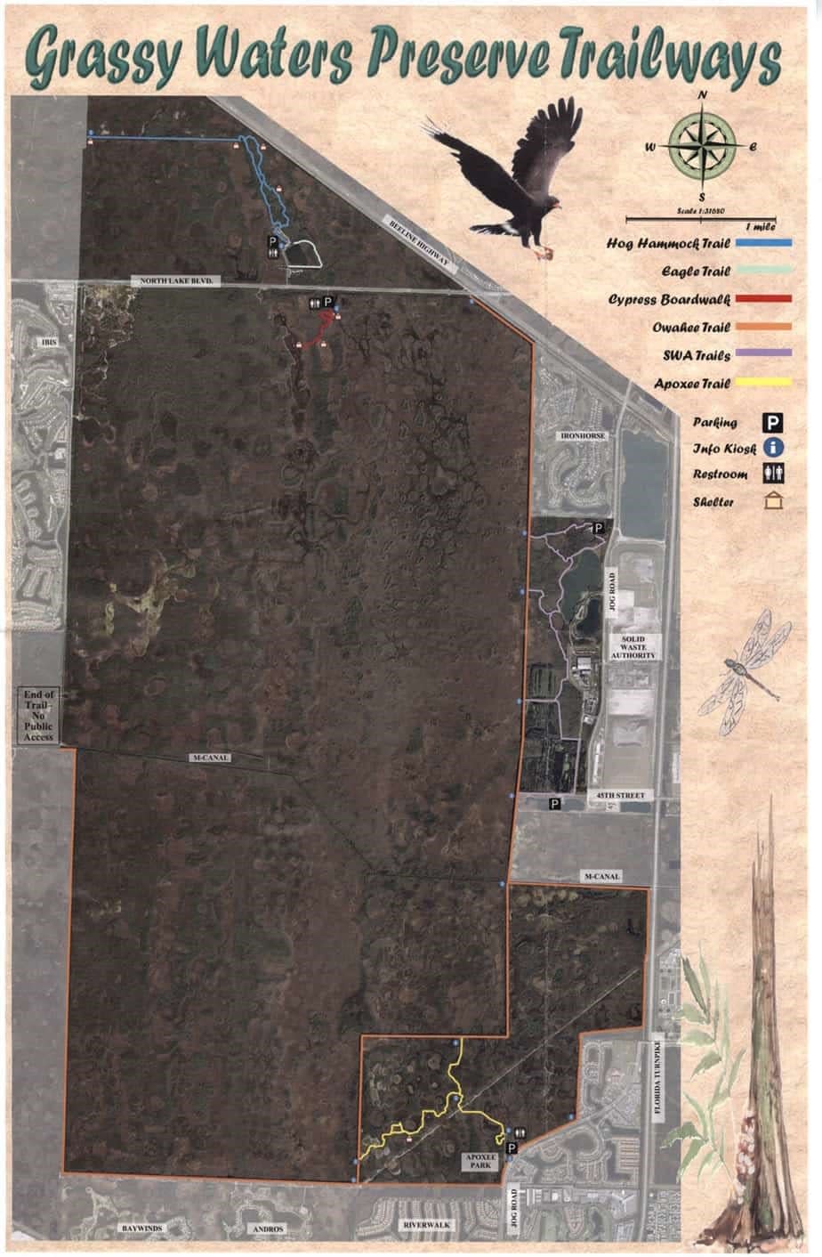
An expansive system of four biking and hiking trails winds around and through Grassy Waters Preserve, a 20-square-mile wetland whose primary purpose is to provide drinking water for the city of West Palm Beach. (The system actually consists of six trails, but the two shortest ones — Eagle Trail and Cypress Boardwalk — are restricted to hiking and off-limits to bikes.)
The more-than-one-trail-in-a-day-once approach:
Ambitious bike riders can start at the system’s southernmost entrance, at jungly scenic Apoxee Park off Jog Road just north of Okeechobee Boulevard, and pedal 10 miles north on the Owahee Trail to the end of the Promontory Trail, accessed from Hog Hammock Trail northwest of Northlake Boulevard.
That jaunt requires one cautious maneuver: At the north end of the Owahee, riders exit through a gate near the intersection of Northlake Boulevard and Beeline Highway and ride west nearly 1 1/2 miles along a concrete sidewalk on the southside of Northlake’s eastbound lanes. (It’s a safe ride, with a wide grass swale separating the boulevard from the sidewalk.) But to get to the Hog Hammock Trail, riders must walk their bike north across Northlake’s four busy lanes.
For those who prefer to pace themselves:
It’s more relaxing to explore the trails separately.
The Owahee is the system’s longest trail,16.6 miles along some two-thirds of the preserve’s perimeter, ending at the M Canal just east of Royal Palm Beach. The scenery does not disappoint. And thanks to the city of West Palm Beach, which manages the trail, there are several rest stops with benches, maps and informational kiosks about the wildlife.
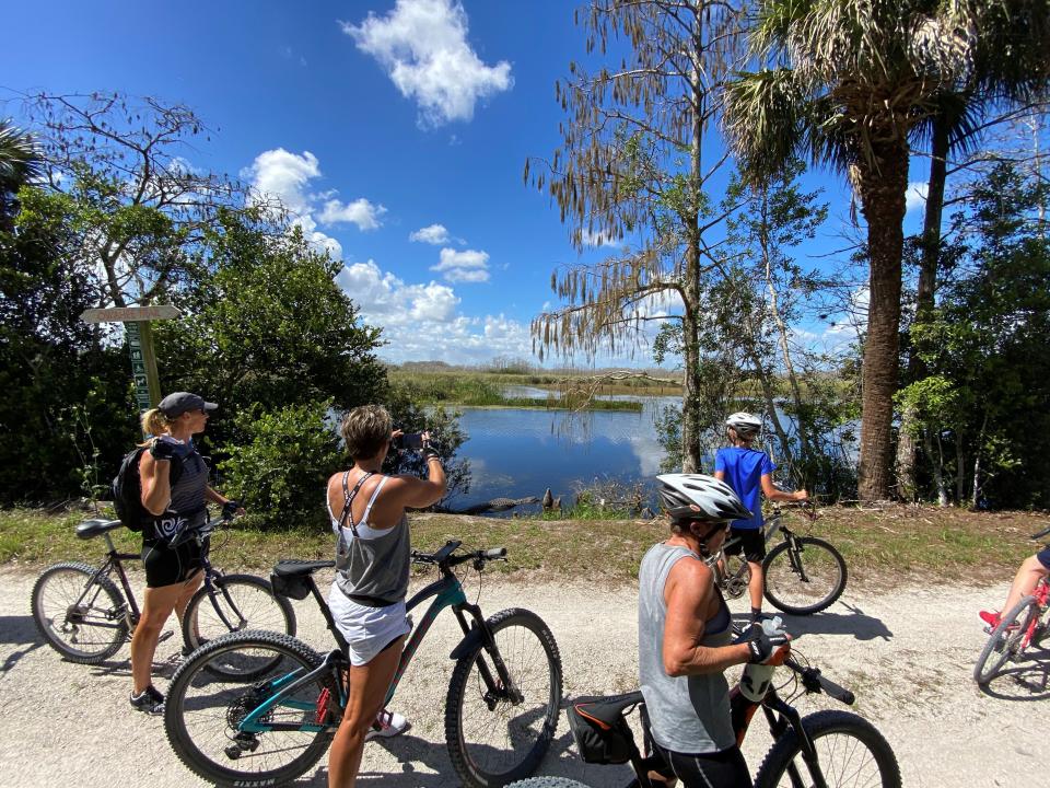
A popular stop is the scenic bridge crossing at the M Canal along the Owahee’s easternmost north-south leg. Alligators can often be seen patrolling the water or lounging on the canal banks. A trail along the south side of the canal leads to a spot with views of an eagle’s nest to the south. (It’s roughly halfway between the canal bridge and Florida’s Turnpike.)
A popular access point is at the Grassy Waters Preserve Trail System parking lot at 3125 Jog Road, about a mile north of Okeechobee Boulevard.
The Hog Hammock Trail offers a shorter and shadier ride, a 2.8 mile loop through hammocks that open to sweeping views of the landscape. At the loop’s far end, the Promontory Trail extends west for a little more than a mile before dead-ending at a shelter with benches.
On one of the shelter’s wooden posts, a framed poster of a bicycle rider reminds visitors that there are no trash cans out here: “It’s not about where you’re going. It’s about what you leave behind.’’
SWA trails
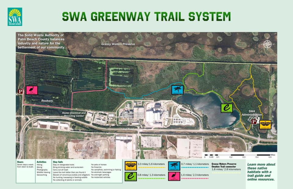
Some of the shortest and most scenic biking trails wind through 300 acres managed by the Solid Waste of Authority of Palm Beach County. Don’t get discouraged by the fact that these trails are so close to garbage dumps and trash facilities.
While there are some spots where you can smell and hear the massive waste-to-energy plant to the east, biking the four trails in the SWA Greenway Trail System can feel like riding in the Everglades.
The aptly-named Rookery Trail winds through a hangout for the endangered snail kite, the threatened wood stork and other native birds. Alligators are often seen in and around the waterways east of the Rookery Trail. All four trails connect to the Owahee Trail.
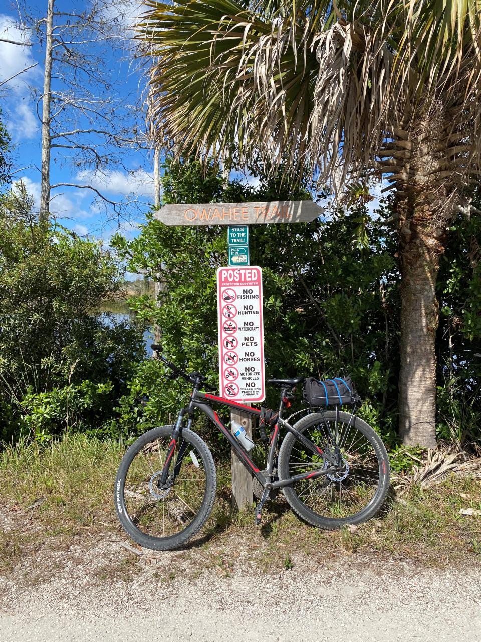
The SWA Greenway System has two trailheads. The northern entrance is at the SWA Administration parking lot at 7501 N. Jog Road. The southern entrance, which can be harder to find, is located at the bend where 45th Street becomes North Jog Road. It’s accessible only by car from the southbound lanes of Jog Road, just before it swings east at 45th Street. Look for the blue “Palmetto Trailhead” parking sign.
Loxahatchee National Wildlife Refuge trails
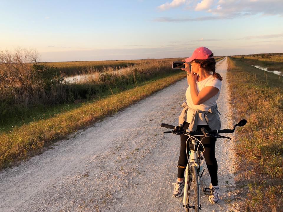
With more than 145,000 acres, the Arthur R. Marshall Loxahatchee National Wildlife Refuge is one of the largest urban wildlife refuges in the United States. It includes the northernmost remnant of the historical Everglades wetland ecosystem.
Bike riders can cruise 45 miles atop most of the levees that encircle the refuge, which runs from Southern Boulevard near Twenty Mile Bend south to the Broward County line.
The most popular section is a 13-mile stretch from the main entrance off Lee Road west of Boynton Beach south to Loxahatchee Road west of Boca Raton and north of Parkland.
Beware: There is little to no shade on the levee. Closer to the Lee Road parking lot, a patchwork of grass and dirt trails can offer views of alligators, deer and bobcats.
The best time to arrive is an hour before sunset. As the sun disappears over the horizon, the refuge shimmers in a magical glow. Dusk rides are a blast, not just because it’s cooler but also because the place comes to life with the grunts, groans and chatter of wildlife in the darkness.
The refuge closes at 10 p.m. There is a $10 entrance fee. You can also buy a $25 annual pass. A $35 annual “America the Beautiful” pass gives unlimited access to all national parks and federal recreation sites, including the Loxahatchee Wildlife Refuge.
Cypress Creek Natural Area trails
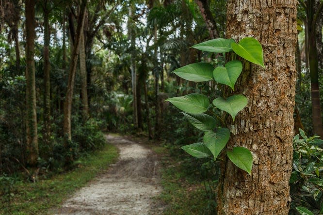
Riverbend Park in Jupiter offers arguably the most popular wilderness bike riding trails in the county. But cyclists in search of less crowded trails can ride from Riverbend Park into the Cypress Creek Natural Area, more than 2,000 acres straddling both sides of Indiantown Road.
Cypress Creek South, on Riverbend Park’s northwest border, offers 2 miles of trails around 230 acres south of Indiantown Road and west to Jupiter Farms Road. It opened in 2017 as part of a $20 million project to expand the original Cypress Creek Natural Area on the north side of Indiantown Road.
Cypress Creek North, with parking just north of the intersection of Indiantown and Jupiter Farms roads, offers longer trails that go west past Mack dairy Road or north into Martin County. The northern trails are grassy and remote and can lead ambitious bike riders to Jonathan Dickinson State Park.
Cypress Creek is also popular for horseback riding, so it's important that bike riders know the trail etiquette: Cyclists must yield right of way to equestrians; announce yourself to horseback riders when you are within hearing distance; and ask how to proceed without startling the horse.
Okeeheelee Park South trails
Like Riverbend Park in Jupiter, Okeeheelee Park on the north side of Forest Hill Boulevard in West Palm Beach is one of the most popular in the county’s parks system.
A more rustic bike ride away from the crowds can be found on the south side of Forest Hill in Okeeheelee Park South. Paths include a 3-mile bike riding loop with elevated overlooks and stunning scenery. Although part of the parks system, the south park is more passive and feels like a natural area. Keep an eye on the paths: It’s not uncommon to see rattlesnakes.
This article originally appeared on Palm Beach Post: Best mountain bike trails for seeing alligators, deer in South Florida
