Tuesday morning thunderstorms pass through Milwaukee, southeastern Wisconsin
Another round of thunderstorms is expected to hit southern Wisconsin in the early morning hours of Tuesday, with strong damaging winds the main concern, according to the latest National Weather Service forecast.
Most of southeastern Wisconsin was under a severe thunderstorm watch or a warning on Tuesday morning as the storms moved in shortly after 5 a.m. Those ended around 6:45 a.m., as the storm system pass through the area.
The storms were expected to last about an hour to an hour and a half, said Kevin Lynott, a meteorologist at the Milwaukee-Sullivan NWS office. The system was forecast to bring areas of thunderstorms, rain and small hail, he said.
Parts of southeastern Wisconsin, including Milwaukee, Racine and Kenosha, remained in a special weather statement until 7:15 a.m. That NWS alert said the main threats were winds up to 40 mph and half-inch hail possible.
Severe Thunderstorm Warning including Milwaukee WI, Waukesha WI and West Allis WI until 6:45 AM CDT pic.twitter.com/3PquQTGmXe
— NWS Milwaukee (@NWSMilwaukee) June 25, 2024
Winds up to 65 mph were recorded in Sheboygan County as the storms neared.
“We are concerned,” said Mark Gehring, another meteorologist at the Milwaukee-Sullivan NWS office on Monday. “There will be a strong line of storms that will develop in eastern Minnesota and southeastern Minnesota … it will organize into a line, then just blast through southern Wisconsin after midnight.”
Warmer today and nice, but more strong to severe thunderstorms are expected late tonight for much of southern WI. Damaging straight line winds and urban and small stream flooding are the main hazards. #wiwx #summerstorms pic.twitter.com/TAayh7Lw84
— NWS Milwaukee (@NWSMilwaukee) June 24, 2024
The system will move quickly, meaning that rain will occur briefly, but heavily, he said.
Those quick rains could bring flash flooding to urban areas and streams, Gehring said. The NWS forecast includes other hazards too, including hail and lightning.
Tornadoes are “very, very unlikely” with the evening system, Gehring said.
“Damaging straight-line winds are the main concerns,” he said.
The storms are forming behind a low-pressure system that is moving across Minnesota and moving to northern Wisconsin. That’s pulling a warm front from the south and bringing warm moist air with it, creating conditions for the storms, he said.
The system is expected to move into Indiana and lower Michigan as it leaves Wisconsin.
“There’s a lot of force in the atmosphere, it could be pretty impressive,” Gehring said.
The forecast’s weather comes two days after severe weather hit the state on Saturday. Those storms brought at least six confirmed tornadoes to the state. More were likely to be confirmed later Monday, Gehring said.
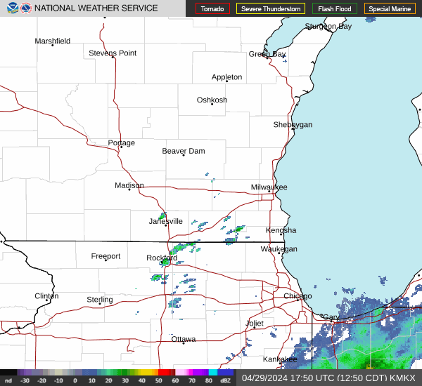
Wisconsin weather radar
Wisconsin weather warnings
Drake Bentley of the Journal Sentinel contributed to this report.
This article originally appeared on Milwaukee Journal Sentinel: Thunderstorms pass through Milwaukee, southeastern Wisconsin on Tuesday morning