How the GOES U satellite will change Earth and space weather forecasts forever
I remember in college in the late 2000s learning about forecasting weather. My classmates and I would hand draw maps with the current weather systems and then we'd look at the satellite data to help paint the picture of what would happen in the coming hours and days.
NOAA's weather satellites were good back then, but compared to what we have in orbit now, the difference is night and day. As a broadcast meteorologist, I've used the data they provide to communicate life-saving information and advanced warning to billions of people across the United States and even the Caribbean when threatening weather developed.
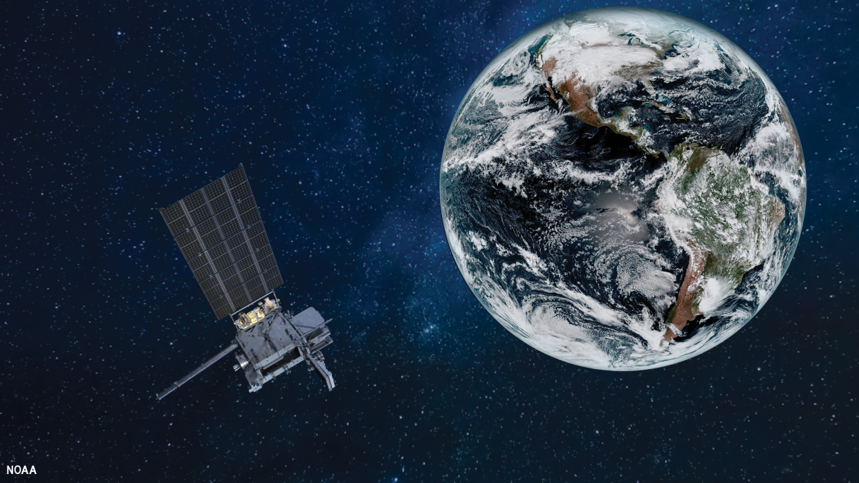
And when GOES-U launches on June 25 atop a SpaceX Falcon Heavy rocket, it will complete NOAA's GOES-R weather satellite constellation, adding to the capabilities of its siblings and bringing a bigger focus on space weather.
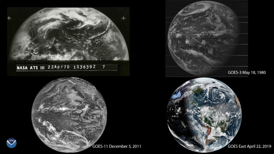
NOAA's Geostationary Operational Environmental Satellites (GOES) are not new; they have been giving scientists a steady flow of data and images from space since 1975. But over the decades, advancements in technology and the lessons learned from every satellite launched up until this point contributed to a significant improvement with the instruments and products available with the newer models.
The most recent constellation of the GOES family began in November 2016 when its first satellite of four, GOES-R, launched to space. At that time, I was working at KEYT-TV in Santa Barbara, California, and had an opportunity to put together an exclusive feature as preliminary data became available to scientists across the United States.
I interviewed the team of forecasters at the National Weather Service (NWS) Los Angeles office to learn how the variety of imagery and observations were useful in each of their different roles. The meteorologists shared how it was incorporated in their forecasts and used to issue alerts to warn the public of inclement weather, and also how incredible it was compared to anything they used before.
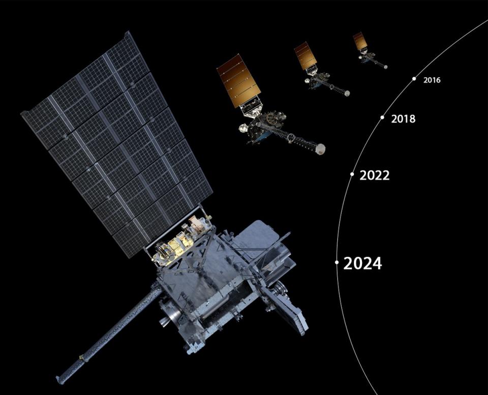
More than seven years later, with three of the four satellites in the series orbiting the Earth, scientists and researchers say they are pleased with the results and how the advanced technology has been a game changer.
"I think it has really lived up to its hype in thunderstorm forecasting. Meteorologists can see the convection evolve in near real-time and this gives them enhanced insight on storm development and severity, making for better warnings," John Cintineo, a researcher from NOAA's National Severe Storms Laboratory (NSSL), told Space.com in an email.
"Not only does the GOES-R series provide observations where radar coverage is lacking, but it often provides a robust signal before radar, such as when a storm is strengthening or weakening. I'm sure there have been many other improvements in forecasts and environmental monitoring over the last decade, but this is where I have most clearly seen improvement," Cintineo said.
In addition to helping predict severe thunderstorms, each satellite has collected images and data on heavy rain events that could trigger flooding, detected low clouds and fog as it forms, and has made significant improvements to forecasts and services used during hurricane season.
"GOES provides our hurricane forecasters with faster, more accurate and detailed data that is critical for estimating a storm's intensity, including cloud top cooling, convective structures, specific features of a hurricane's eye, upper-level wind speeds, and lightning activity," Ken Graham, director of NOAA's National Weather Service (NWS) told Space.com in an email.
Instruments such as the Advanced Baseline Imager (ABI) has three times more spectral channels, four times the image quality, and five times the imaging speed as the previous GOES satellites. The Geostationary Lightning Mapper (GLM) is the first of its kind in orbit on the GOES-R series that allows scientists to view lightning 24/7 and strikes that make contact with the ground and from cloud to cloud.
"GOES-U and the GOES-R series of satellites provides scientists and forecasters weather surveillance of the entire western hemisphere, at unprecedented spatial and temporal scales," Cintineo said. "Data from these satellites are helping researchers develop new tools and methods to address problems such as lightning prediction, sea-spray identification (sea-spray is dangerous for mariners), severe weather warnings, and accurate cloud motion estimation. The instruments from GOES-R also help improve forecasts from global and regional numerical weather models, through improved data assimilation."
Although similar to its siblings, GOES-U will be unique as it features improvements to its instruments that came from what scientists learned from the three currently in orbit.
But what will set apart GOES-U from the others will be a new sensor on board, the Compact Coronagraph (CCOR), that will monitor weather outside of Earth's atmosphere, keeping an eye on what space weather events are happening that could impact our planet.
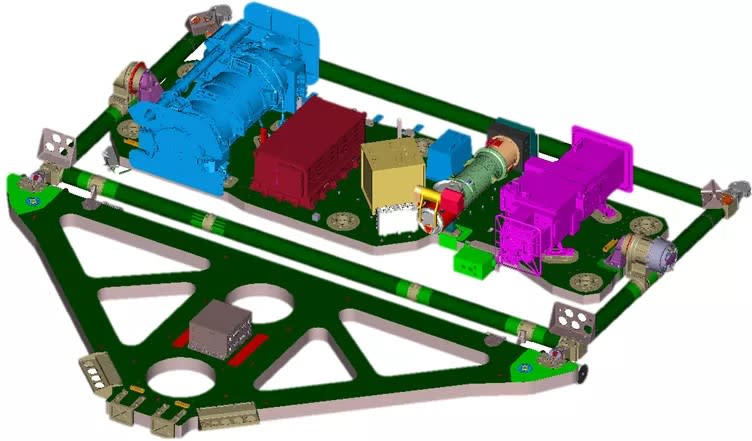
"It will be the first near real time operational coronagraph that we have access to. That's a huge leap for us because up until now, we've always depended on a research coronagraph instrument on a spacecraft that was launched quite a long time ago," Rob Steenburgh, a space scientist at NOAA's Space Weather Prediction Center (SWPC), told Space.com on the phone.
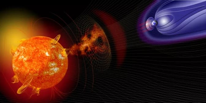
"So this is exciting because I'm not going to have to wait now for the data to be downloaded, because sometimes current coronagraph imagery is delayed. Sometimes we wait as long as four or eight hours, and every hour counts when you're dealing with coronal mass ejections (CMEs) which sometimes come to Earth and give us big geomagnetic storms like we had last month."
RELATED STORIES:
— How to watch SpaceX's Falcon Heavy rocket launch NOAA's GOES-U satellite on June 25
— GOES-U satellite launch this month will bring a solar activity monitor to space
— 2024 hurricane season should be busy, NOAA says
Before forecasting space weather, Steenburgh was a meteorologist for terrestrial weather, and says the way these next-generation satellites have revolutionized the way scientists can make forecasts is massive. He says the improvement in technology since the 1980s has provided Earth and space weather forecasters with tools needed to build their confidence and improve forecast accuracy.
"Probably one of the biggest (change) was the introduction of the Doppler weather radar, which is mind blowing to me. What a great leap that was in terms of capabilities, and so I felt like I was in part of the Golden Era of meteorology," Steenburgh said. "I moved into space weather around 2005 and I've been fortunate enough to witness very similar evolution in this field that's just been astounding. When I started, I had three numerical models I worked with more or less routinely.
"Now, I've got over 16 and observation platforms that I never even imagined with data quality in terms of temporal and spatial resolution beyond my wildest dreams early on. I'm fortunate enough to be living in another Golden Era," Steenburgh added.
