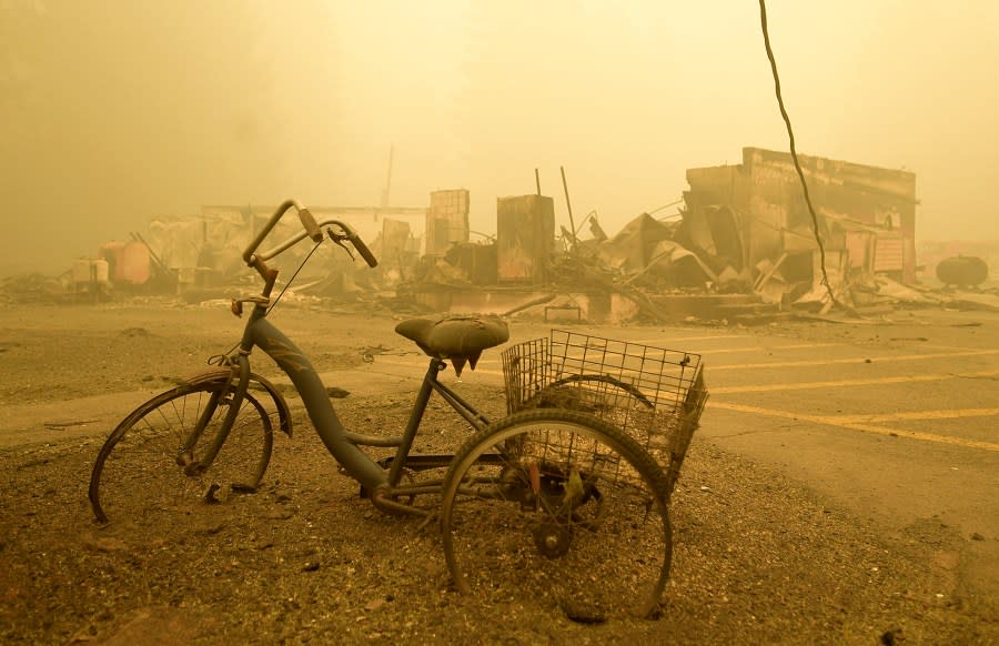
New map shows Oregon homes with highest wildfire hazards
PORTLAND, Ore. (KOIN) — The Oregon Department of Forestry has published a draft of its new “wildfire hazards” map, which identifies the areas of the state most threatened by wildfires.
The Oregon Department of Forestry rescinded a previous version of the map in 2022 after numerous complaints from the public. The previous map, which pointed out properties that had the highest “wildfire risk” in Oregon, stated that roughly 8%, or 120,276 of the tax lots across the state, were in “high-risk” or “extreme-risk” areas.
Residents can use the new map to inspect the wildfire threat in their area by clicking on a specific location or entering an address. Mount Hood’s Timberline Lodge, for example, which is owned by the U.S. Forest Service, has a more severe wildfire hazard designation than 96.15% of properties in Oregon, according to the map.
People living, dumping on Oregon’s public lands ‘overwhelming’ Bureau of Land Management
Oregon State University Wildfire Research Scientist Andy McEvoy said that the map is not yet finalized. The ODF is accepting public input about the new map system until Aug. 18.
“The maps won’t become final until we receive input from counties on potential local anomalies, administrative rules are adopted by the Board of Forestry, and we evaluate input from the public,” McEvoy said.
The latest draft reflects input provided by the public and other government agencies in 2022. The changes to the new map include:
Adjustments for hay and pasture lands
Adjustments for northwest Oregon forest fuels
Changes based on draft rules to include irrigation of agricultural crops as a mitigating factor in wildfire hazard assessments

Pilot Rock Fire prompts Level 3 ‘Go Now’ evacuations near Pendleton
Oregon State Fire Marshal Mariana Ruiz-Temple said that, among other things, threatened residents can improve “defensible space” around their homes and properties to better prepare for wildfires.
“No matter where you live, the simple actions you take to limit where an ember can land and catch fire can make all the difference, saving your home and protecting your community,” Ruiz-Temple said.
Andrew Stolfi, the director of the Department of Consumer and Business Services, said that the finalized map will be used to set new standards for the areas deemed at risk.
“Home-hardening standards are extremely important because they help reduce the risk of ignition to the most vulnerable parts of a home by the embers of a wildfire,” Stolfi said. “Once the map is finalized, we will then initiate rulemaking to adopt the home hardening standards, which will be followed by a six-month, phase-in period for education and outreach.”
Any changes in building standards will not apply to existing homes, Stolfi said. The changes will strictly reflect new construction, “major additions” and things like roof or siding replacement if homes are in a “high wildfire hazard zone” and the map’s “wildland-urban interface.”
The final version of the map will reflect rules as they are adopted by the Board of Forestry. The ODF stated that the purpose of the wildfire hazard map is to:
Educate Oregon residents and property owners about the level of hazard where they live.
Assist in prioritizing fire adaptation and mitigation resources for the most vulnerable locations.
Identify where defensible space standards and home hardening codes will apply.
Copyright 2024 Nexstar Media, Inc. All rights reserved. This material may not be published, broadcast, rewritten, or redistributed.
For the latest news, weather, sports, and streaming video, head to KOIN.com.
