Oregon wildfire season intensifies with five fires now at ‘megafire’ status
PORTLAND, Ore. (KOIN) – Wildfire season continues to decimate parts of Eastern Oregon as the state adds one more fire to its list of “megafires” that sparked in July.
A megafire, according to the U.S. Interagency Fire Center, is a wildfire that reaches a size of at least 100,000 acres. Of the 121 fires currently burning in Oregon, the Durkee, Cow Valley, Falls, Lone Rock, and Monkey Creek fires have reached this status.
Class-action lawsuit filed against Providence, Oregon Anesthesiology Group for negligence
Durkee Fire
Location: Baker County
Size: 288,690 acres
Containment: 49%
Injuries: 3
Structures Destroyed: 23
Cow Valley Fire
Location: Malheur County
Size: 133,490 acres
Containment: 99%
Injuries: 1
Structures Destroyed: 7
Falls Fire
Location: Harney County
Size: 142,307 acres
Containment: 69%
Injuries: 11
Deaths: 1
Structures Destroyed: 28
Lone Rock
Location: Gilliam County
Size: 137,214 acres
Containment: 77%
Injuries: 7
Structures Destroyed: 12
Monkey Creek
Location: Morrow County
Size: 104,577 acres
Containment: 8%
Injuries: 4
Structures Destroyed: 9
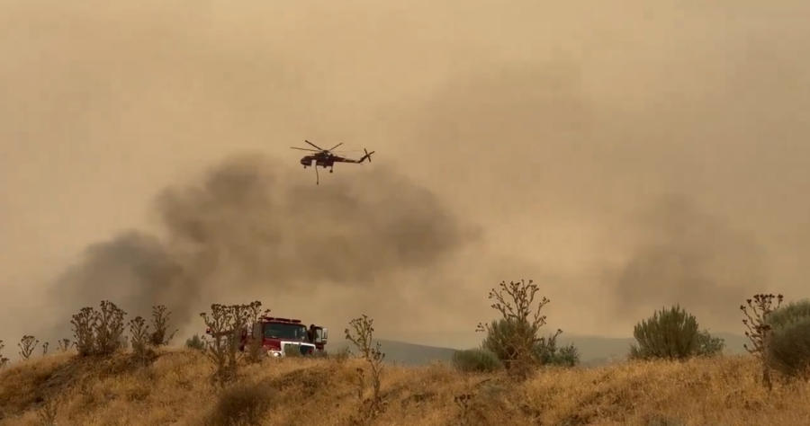
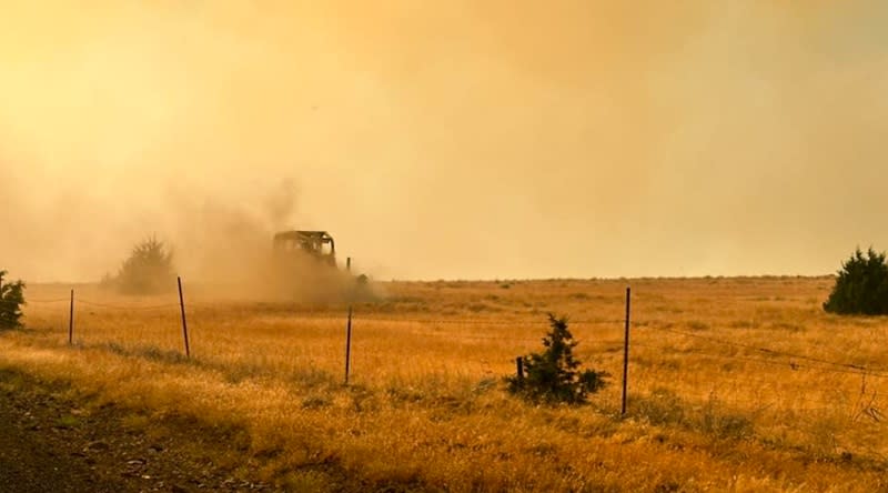
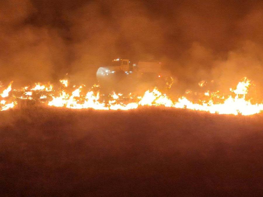
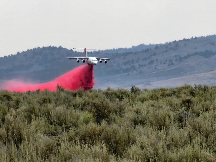
The Falls Fire. (Inciweb) Crews battle the Cow Valley Fire on Jul. 14, 2024. (Oregon State Fire Marshal) The Durkee Fire burns alongside Interstate 84 in Eastern Oregon (ODOT) The Lone Rock Fire in Gilliam County, July 14, 2024 (Gilliam County Sheriff’s Office) The Falls Fire seen burning in Eastern Oregon on July 20, 2024. (Inciweb) A Bureau of Land Management Battalion Chief scouts ahead of the Durkee Fire burning in Easter Oregon on July 21. (Photo by Marcus Johnson, courtesy of Inciweb) A column of fire rises from a burning tree within the Lone Rock Fire. (Inciweb) A fire engine dispatched to the Falls Fire at Mosquito Flat. Photo by Chad Rott (USFS). A truck drives along the fire line of the Cow Valley Fire burning in Eastern Oregon. (KOIN 6) An air tanker performs a drop on the Cow Valley Fire on July 14. (Jeremiah Maghan, Inciweb)


The 2024 wildfire season so far has burned 1,142,727 acres in Oregon, according to the State of Oregon Fires and Hotspots Dashboard. This converts to 1,785 square miles of scorched land.
Air tanker pilot killed in Eastern Oregon crash identified
This total surpasses the size of the entire state of Rhode Island. The largest wildfire, the Durkee Fire in Baker County, surpassed the size of Multnomah County last week. It is currently the largest active wildfire in the U.S.
Stay with KOIN 6 News as we continue our wildfire coverage.
Copyright 2024 Nexstar Media, Inc. All rights reserved. This material may not be published, broadcast, rewritten, or redistributed.
For the latest news, weather, sports, and streaming video, head to KOIN.com.