Power outages persist in Buncombe May 9, possible tornado east of Western NC
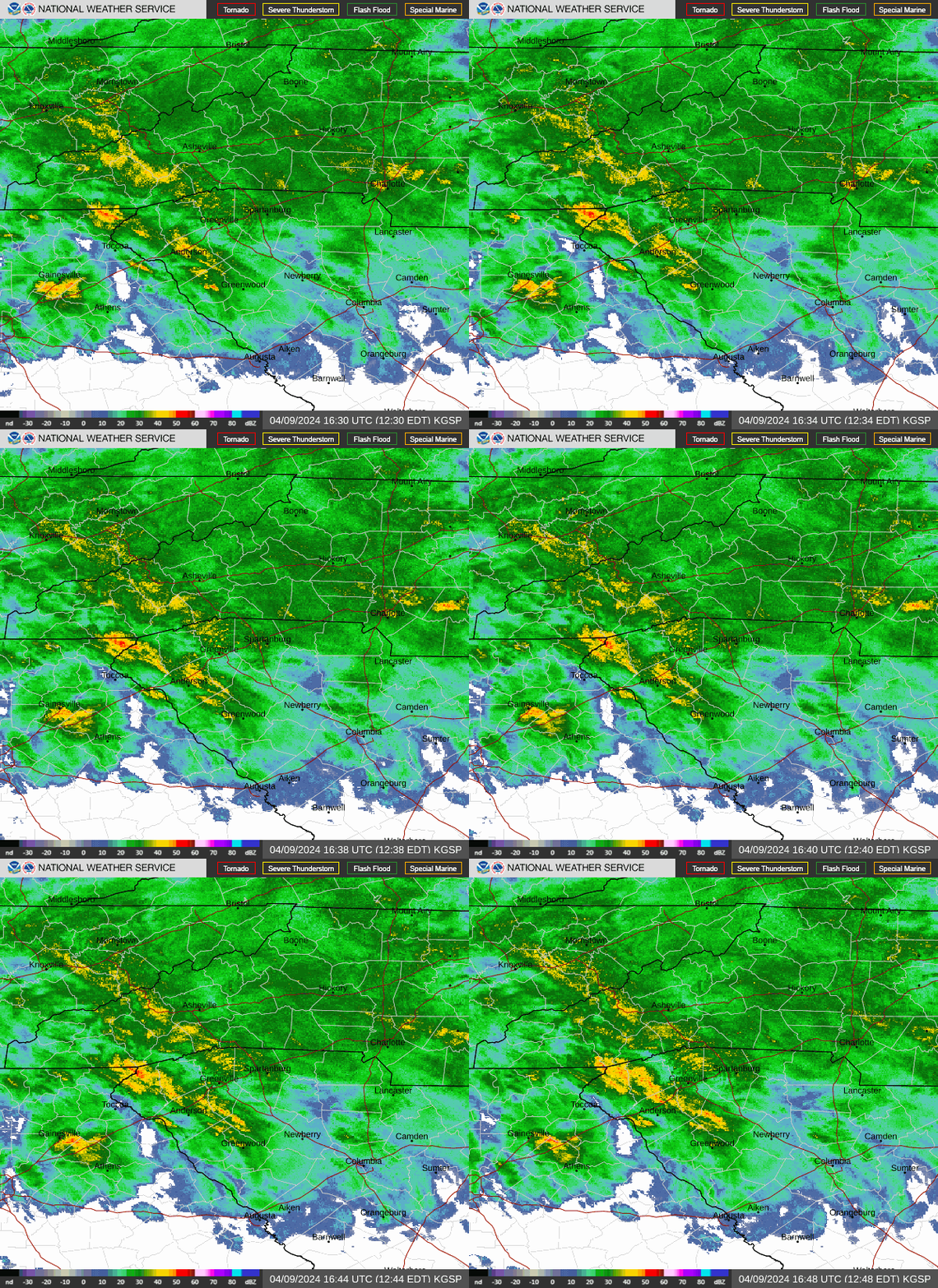
Power outages persist in Buncombe County May 9 and storms are expected through noon after strong storms blew through the area Wednesday.
As of 8:30 a.m. May 9, 2,494 Duke Energy customers were without power in Buncombe County following Wednesday's storms, which caused damage to trees, powerlines, poles and other electrical equipment. The company issued a statement on its outage map page for the area, warning of additional severe weather expected through Thursday which will likely cause more outages and slow the pace of restoration. As of 5:30 p.m., 2,585 Duke customers in Buncombe still were without power.
BY 7 a.m. Friday, May 10, Duke Energy had restored power to all but 182 customers, and it expected to have all power restored by 10 a.m.
Jackson County had the most electrical outages in Western North Carolina, with 2,999 Duke Energy customers without power as of 8:45 a.m. Thursday. That number fell to 1,924 by 5:30 p.m., and there were still 659 customers without power at 7 a.m. May 10.
That's far fewer than Gaston County to the east of WNC, with nearly 24,000 Duke Energy customers without power in the morning, and nearly 20,000 at 5:30 p.m. That number dropped to 8,507 at 7 a.m. May 10, and Duke reported it expected to restore all power by noon Friday.

Hail, flood risks, tornados and more
Scott Krentz, a meteorologist for the National Weather Service, said Asheville saw hail of around an inch and a quarter on Wednesday, while Barnardsville saw hail of up to 3 inches in size. While storms have continued this morning, Krentz said the risk of larger hail has likely passed.
Krentz also said that flooding is no longer a concern in the Buncombe area, and that main flooding concerns have moved northeast. Though this risk has passed, WNC saw high levels of precipitation.
"You got a good amount in Buncombe County, even the Asheville area got almost 3 inches, about 2.8 inches," Krentz said. "Northern Haywood County got upwards to 3 and 3/4, almost 4 inches. They put down a lot of rain, that's for sure."
There was some potential tornado activity, but the main threat was farther east.
"We had a tornado warning out last night, but we didn't see any damage up there with that, that one might not have actually touched down," Krentz said of WNC. "And we had a tornado warning over for Cleveland County east of that last night as well."
He added that a storm survey to gather data on any effects of tornados in Cleveland County is still in the works.
A look at today's weather
Krentz said that while it's been a damp May 9 morning so far, storms shouldn't cause much more trouble. This morning's thunderstorms should be finished by around 9 a.m., though showers may continue until between 11 a.m. and 12 p.m.
"There's some stuff moving out of Haywood County right now headed towards Buncombe, but that's probably just going to be more general thunderstorms, gusty winds and maybe small hail," Krentz said.
The NWS weather outlook said that it's possible a few storms in the areas affected by weather warnings may become strong to severe, with potential for damaging wind gusts and small hail. Cloud-to-ground lightning will accompany any thunderstorms that do develop.
NWS forecasts for the day put highs at around 78 degrees, with light and variable wind in the afternoon and potential gusts as high as 20 mph. There is an 80% chance of precipitation, with rainfall amounts between a quarter and half an inch possible.
By tonight, weather is predicted to have mostly cleared, though Friday, May 10, carries a 40% chance of precipitation and chance for thunderstorms.
Iris Seaton is the trending news reporter for the Asheville Citizen Times, part of the USA TODAY Network. Reach her at [email protected].
This article originally appeared on Asheville Citizen Times: Power outages, rainfall totals in Asheville; Cleveland County tornado?