When seasonal mountain road closures will be lifted in Colorado

DENVER (KDVR) — As the weather warms up, Coloradans will do what they do best, and get out in nature. Luckily, there will be more accessible mountain roads to adventure on as seasonal closures are lifted.
Each year, the Colorado Department of Transportation initiates safety closures on mountain roads due to winter weather conditions that make driving particularly dangerous in those areas.
New 177-mile trail circles the entire Denver metro
Some are closed for more than half of the year, closing as early as October and opening as late as June. That means adventurous Coloradans only have a few months to access some of the trails, viewing spots and campgrounds in these areas.
FOX31 compiled a list of where and when seasonal road closures are lifted, as well as some of the attractions nature has to offer in that area.
Colorado State Highway 5 – Mount Blue Sky Scenic Byway
A 14-mile stretch of CO 5 leading to the 14,265-foot peak of Mount Blue Sky closed in early October and is set to reopen on May 27.
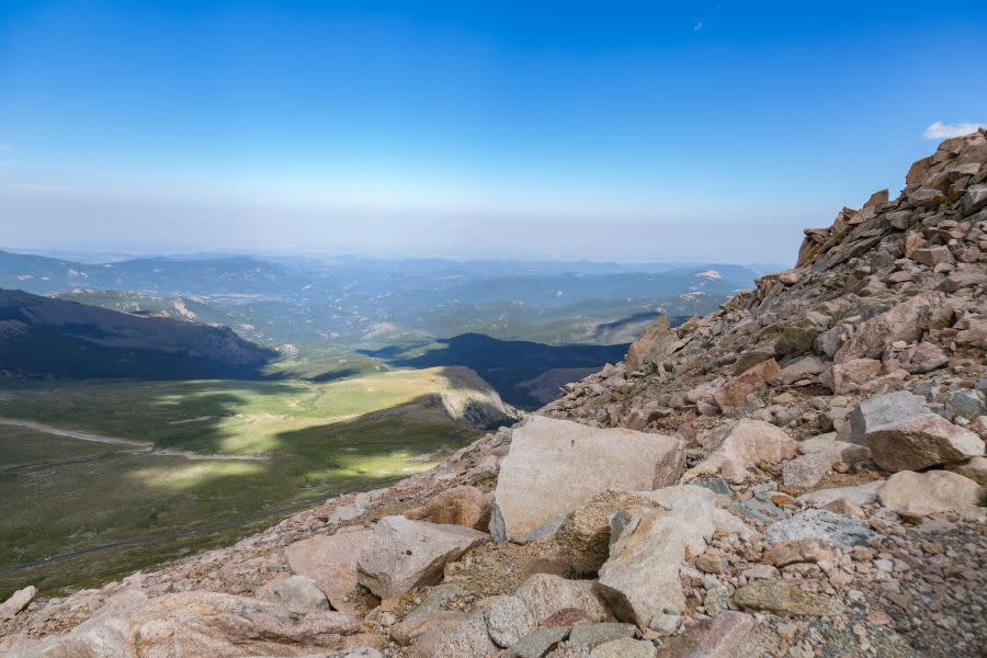
The Mount Blue Sky Scenic Byway is the highest paved road in North America, climbing over 7,000 feet in 28 miles to reach an elevation of 14,130 feet, according to the U.S. Forest Service.
The Crest House is a notable landmark in this area. Also known as the “Castle in the Sky,” the former restaurant was once the highest structure in the world. The restaurant was destroyed in a fire in 1979.
Mount Evans officially renamed Mount Blue Sky
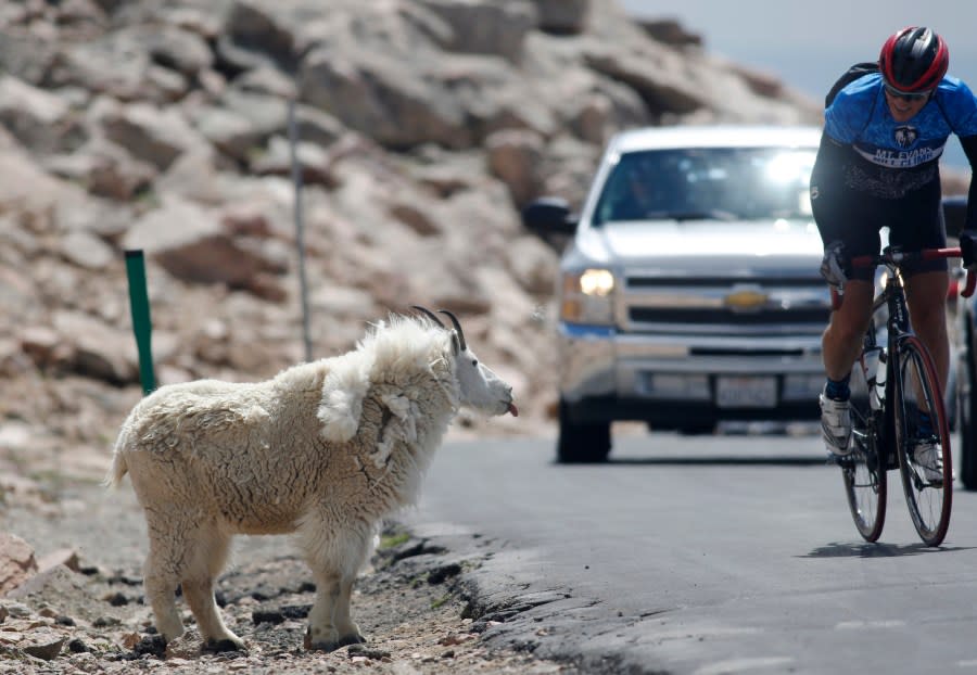
Mount Blue Sky is also known as one of the best places in the state to view mountain goats.
Mount Blue Sky Scenic Byway can be seen from the summit of Mount Evans in the Rocky Mountains of Colorado. (Photo by: Ron Buskirk/UCG/Universal Images Group via Getty Images) Friday, July 15, 2016, file photo, a mountain goat sticks out its tongue as a bicyclist passes by along the Mount Evans Highway near Idaho Springs, Colo. Mount Evans, which is the highest paved road in North America, rising from Idaho Springs at about 8,700 feet to 14,240 feet at the summit, will be closed. (AP Photo/David Zalubowski, File)
The road is about 60 miles away from Denver and is surrounded by many other mountains, including Mount Bierstadt, Gray Wolf Mountain, Rogers Peak, and Rosalie Peak, and is near bodies of water like Summit Lake, Abyss Lake, Chicago Lakes, Lincoln Lake, Echo Lake, Lake Fork and more.
Here is the Mount Blue Sky Road area on Google Maps:
Colorado Road 381 – Guanella Pass Road
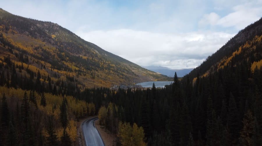
Nestled between Square Top Mountain and Mount Blue Sky, 12 miles of Guanella Pass Road closed between Interstate 70 in Georgetown and Colorado Road 62 ahead of winter weather in late November. It’s scheduled to reopen on May 31.
There are seemingly countless attractions for nature adventurers in the area. Guanella Pass Road weaves around Alpine Peak, Sugarloaf Peak, Otter Mountain, Gray Wolf Fountain, Mount Wilcox, Square Top Mountain, Mount Blue Sky, Mount Bierstadt, Geneva Mountain and more.
There are plenty of trails and campgrounds nearby, as well as several bodies of water including Silver Dollar Lake, Square Top Lakes, Duck Lake, Naylor Lake, Clear Lake, Green Lake, the Georgetown Reservoir and a few others.
The 11,670-foot high mountain pass offers scenic views and hiking trails including one to the peak of Mount Bierstadt.
Here is the Guanella Pass Road area on Google Maps:
Gunnison County Road 12 – Kebler Pass
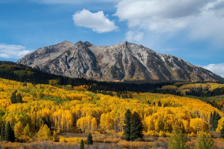
A 20-mile stretch of Kebler Pass near Crested Butte and the Paonia Reservoir closed for the season on Dec. 8 and is scheduled to reopen on May 1.
This road runs alongside Coal Creek and is surrounded by mountains and peaks including West Beckwith Peak, Marcelina Mountain, Prospect Point, Afley Peak, Peeler Peak, Anthracite Range, Mt. Emmons and others.
Other nearby attractions include the abandoned Old Irwin Cemetery, Lake Irwin and Horse Ranch Park, as well as several hiking trails and scenic overlooks.
Arapahoe Basin’s latest closing day on record lasted through the summer
Here is the Kebler Pass area on Google Maps:
Colorado Highway 82 – Independence Pass
A 21.5-mile stretch between Aspen and Twin Lakes on CO 82 closed for the season on Oct. 30. It could be closed for more than half of the year depending on the weather.
CDOT said it will announce if there is an early reopening date in the spring, but it is otherwise scheduled to open on June 1, according to Cotrip.
How many ghost towns are there in Colorado? More than live towns
The 21.5-mile closure between Tagert Lake Road (5 miles east of Aspen) and Carlton Tunnel Road (13 miles west of Twin Lakes) is near Mt Shimer, Green Mountain, Williams Mountain, Truro Peak, Twinning Peak, Geisser Mountain and more.
There are plenty of adventure spots on this stretch of road including wilderness areas, campgrounds, overlook areas, hiking trails and even a ghost town.
Here is the Independence Pass area on Google Maps:
Forest Service Road 209 – Cottonwood Pass
Forest Service Road 209 closed for the winter on Nov. 1, including a 12-mile stretch near Cottonwood Pass. According to Cotrip, the road will reopen to the public on May 31.
The area is about 20 miles west of Buena Vista. Nearby peaks include Cottonwood Pass Peak, Turner Peak, Gladstone Ridge and Mt. Yale.
There are several campgrounds, viewing areas and trailheads along the road, with some trails reaching peaks and others leading to lakes.
Here is the Cottonwood Pass area on Google Maps:
If you are interested in checking out any of these natural wonders, be sure to do so while the mountain roads are open over the summer as many will close again in as early as October.
For the latest news, weather, sports, and streaming video, head to FOX31 Denver.


