Welcome to summer without El Ni?o
El Ni?o is on its way out just as summer is approaching. The weather phenomenon was heavily responsible for the extreme heat of last summer, so summer 2024 has the potential to look different. However, scientists say that the heat is not going away any time soon, and hurricanes will be more frequent as El Ni?o's sister phenomenon La Ni?a brings cooler ocean temperatures. Also, in a world of rapidly worsening climate change, moderate summers are likely a relic of the past.
How are the weather patterns changing?
El Ni?o is a weather phenomenon "associated with warmer-than-normal ocean temperatures over the tropical Pacific," said The Washington Post. The warmer water "evaporates readily, adding moisture to the atmosphere and triggering a cascade that alters rainfall, heat waves and drought patterns across the world," said Vox. The phenomenon contributed to the record-breaking heat in the summer of 2023 and favored "wetter winters across the south and the southwestern United States and drier and warmer winters in the Pacific Northwest," Aaron Levine, a research scientist at the Cooperative Institute for Climate, Ocean and Ecosystem Studies at the University of Washington, said to Newsweek. However, El Ni?o is losing steam and will likely be gone by the time summer hits, making way for La Ni?a to form between the middle of summer and the beginning of fall. During La Ni?a, ocean temperatures "over a large area of the Pacific drop by at least 0.5 degrees Celsius below the historical average for three months or more," said Vox.
Forecasters predict that oceans will reach their neutral phase, the stretch between El Ni?o and La Ni?a when ocean temperatures are more or less average, by June. However, while El Ni?o may not be here for much longer, "historically, strong El Ni?os are followed by short neutral phases, about three to five months, before switching to La Ni?a," said Vox. Climate change has also made the transitional period unpredictable. "This obviously isn't our grandmother's transition out of El Ni?o — we're in a much warmer world, so the impacts will be different." Michelle L'Heureux, a climate scientist with the Climate Prediction Center, said to CNN.
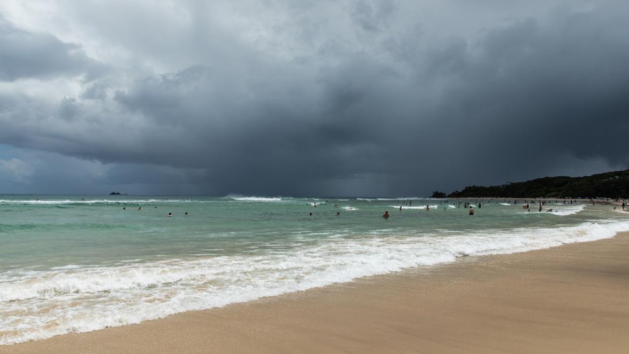
What will the summer weather look like?
While it may not be as intense as last year, high heat will still be a factor. "Above-average temperatures are forecast over nearly every square mile of the Lower 48," said CNN. "Only portions of the Dakotas, Minnesota and Montana have an equal chance of encountering near normal, above- or below-normal temperatures." The good news is that it is "possible the switch to La Ni?a could moderate global temperatures in 2024 and prevent them from surpassing 2023," said the Post.
The eastern U.S. will likely see wetter conditions, while the West will be drier than usual. "Stormy weather could be a consistent companion for much of the East — but whether it comes from typical rain and thunderstorms or tropical activity won't be known for months," said CNN.
With La Ni?a expected to appear in mid-to-late summer, the weather patterns will intensify. "La Ni?a, to me, is 'extreme normal,'" Mickey Glantz, the director of the Consortium for Capacity Building at the University of Colorado Boulder, said to Vox. "You have a wet season, it's going to be really wet. If you have a dry season, the probability is it's going to be really dry." In addition, the Atlantic Ocean is likely going to be in for a stormy season. "We anticipate a well above-average probability for major hurricanes making landfall along the continental United States coastline and in the Caribbean," forecasters at Colorado State University said in a press release. "Sea surface temperatures in the eastern and central Atlantic are currently at record warm levels and are anticipated to remain well above average for the upcoming hurricane season."
